
It is perhaps the destiny of the island nation/s to become a little obsessive about the state of the waters lapping its shores. Particularly if the nations are heavily dependent on trade and particularly if the surrounding bodies of water are as notoriously changeable as the North Sea and the Atlantic Ocean, the Irish Sea and the English Channel! Indeed, as I learnt from Charlie Connelly’s book, “Attention All Shipping”, it was the consistent threat to vessels navigating the fickle waters off the British Isles and beyond that led to the introduction of a national institution designed to mitigate the perceived perils. The shipping forecast, first broadcast in 1920, has been informing the nation of impending storms and gales for generations, suffusing the airwaves of the BBC at daily, time-honoured intervals and like the bongs of Big Ben, succinctly assuring seafarers and landlubbers alike that all is well. A simple formulation of around 350 words, the forecast starts with ‘Viking’ and proceeds in a roughly clockwise direction, around the 31 areas, to SE Iceland. Familiar names such as North Utsire, Cromarty and German Bight, Biscay, Fitzroy and Rockall. There’s a certain irony that the communique is drafted by the Met Office in landlocked Bracknell (Berkshire) and yet despite the proliferation of multi media, the forecast has retained its imposing position, rather like the network of lighthouses around the coastline, aged, but retaining a certain utility, as well as fondness, in the public’s imagination.
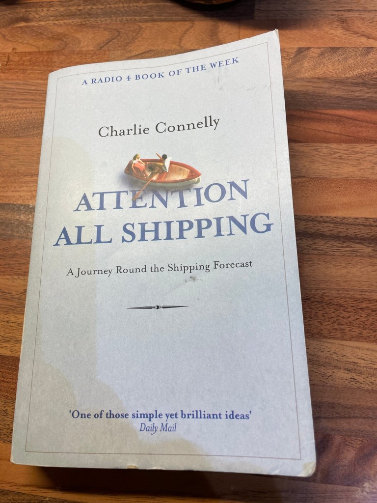
I first became familiar with the shipping forecast, on BFBS (British Forces Broadcasting Service), a quintessentially British reminder of home, but though I loved the lyrical rendering of the report and feared for the sailors battening down hatches in gale force winds and high seas, my mental map of the respective areas was at best sketchy. Step forward, journalist, Charlie Connelly and a year-long adventure to “travel the shipping forecast”, starting and finishing at the Cutty Sark pub, at the heart of Britain’s maritime heritage in Greenwich. The challenge, to visit each area (including those with no coastline) and take the reader along for the ride.
It proved to be quite the odyssey and the author’s amiable style manages to thread together the patchwork of areas through an interesting blend of historical detail and contemporary anecdote. Eccentric (how could it not be), extraordinary (certainly), but also awe-inspiring and funny. A simple idea, but well executed and a dead ringer for Radio 4 Book of the Week. For those of us unlikely to put to sea any time soon, the shipping forecast may appear quaint, an anachronism, in a world of satellite navigation and yet it has been a trusted part of the maritime infrastructure for more than a century, alongside lighthouses and lifeboats, designed to protect ships and crews and thereby support our connections to the wider world. Along the way, doubtless saving countless lives. Reason enough then to explain the significance of the shipping forecast as a cultural reference point. However, I am obliged to Charlie Connelly for reinforcing the concept in our national consciousness and lifting the veil on some of our seafaring tradition.
